The Hrazdan gorge is now a protected landscape: what lies inside its 268 hectares
The city council made the gorge a protected area, but we have not found a published boundary yet. Using the master plan, we looked at how much land it covers, in which districts, and what flats next to it are listed for.
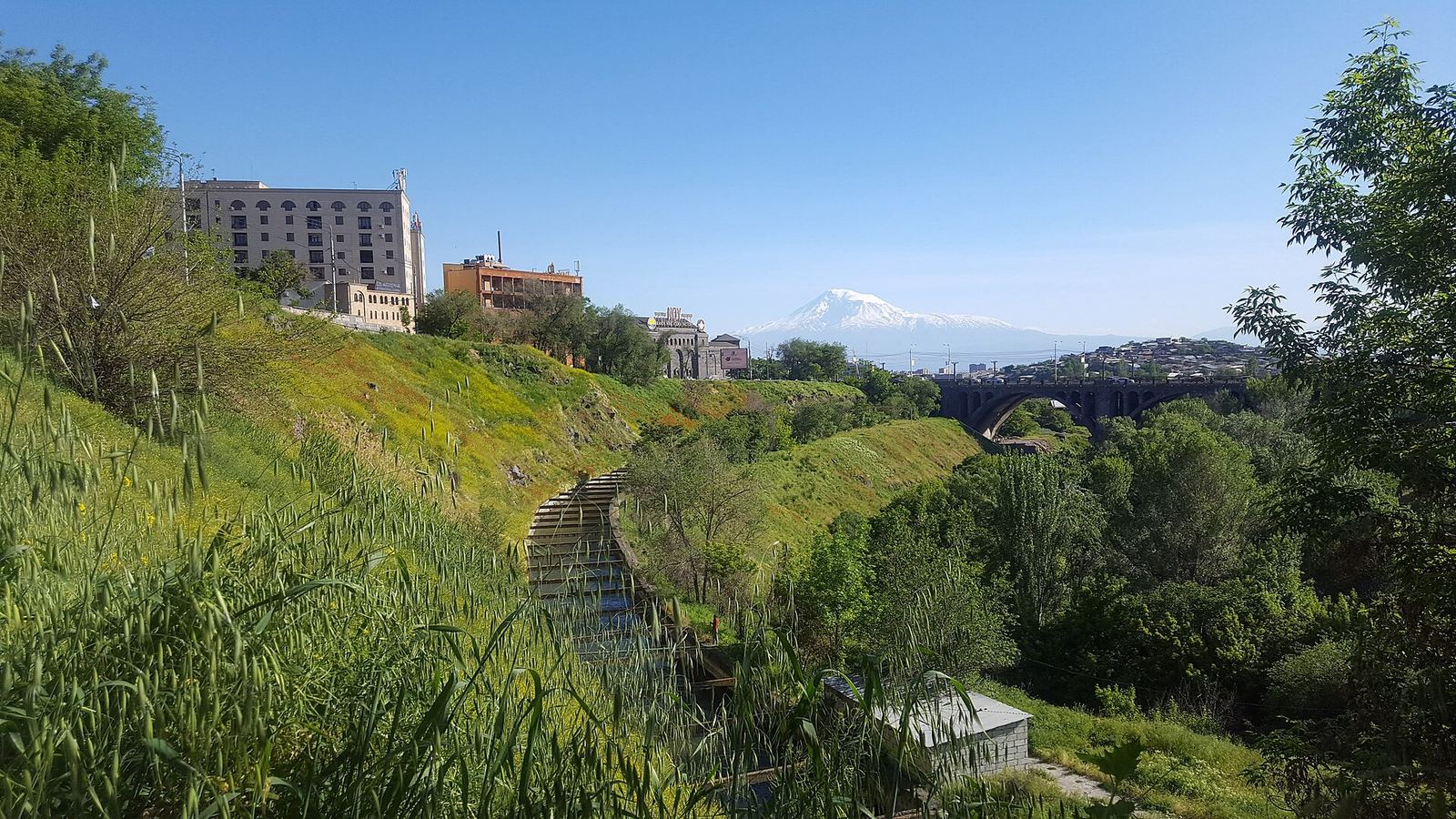
In October, Yerevan's Council of Elders made the Hrazdan gorge a specially protected natural area of local significance, in the "protected landscape" category. The item was on the agenda of the council's 13 October session (Armenpress), and on 23 October, at COP17, Mayor Tigran Avinyan presented it as Yerevan's example (Aravot). No boundary map or area in hectares has been published in any source we found. We looked at what Yerevan's master plan shows: how much land lies in the gorge's protection zone, which districts it falls in, what that land is recorded as today, and whether flats near the gorge are listed for more.
What "protected landscape" means
It is a specially protected natural area of local significance: the status was granted by the community, the city of Yerevan, not by the national government. In April the government approved the first steps and left the formal decision to the Council of Elders (CivilNet). What may and may not be done in the gorge will be set by a management plan, which does not exist yet. According to Armenpress, until then City Hall will keep the area in its current condition, run short-term programmes and define zones. It is not a closed reserve: City Hall says the aim is accessible recreation with as little harm to nature as possible.
Where the zone runs
We have not seen a map attached to the council's decision, so we used the master-plan layer called "Hrazdan gorge, special protection area". It comes in three parts and runs from Davtashen and Arabkir down to the southern edge of Kentron and Shengavit. Together that is 268 hectares, about 7.7 km between its farthest points. If the council's boundary turns out different, these numbers will change too. The master plan is the city's long-term document showing what each piece of land is meant for, and it marks the gorge as a special protection area. The council's decision is a separate document, and its boundary may run differently, a little wider or narrower.
268 hectares in football pitches
Gorge protection zone
- Area
- 268.2 ha · as of 4 Nov 2026
- Length (straight line)
- 7.7 km · as of 4 Nov 2026
Three parts, one after another along the river.
One football pitch
- Area
- 0.71 ha · as of 4 Nov 2026
- Pitches that fit in the zone
- 375 · as of 4 Nov 2026
A standard pitch, 105 × 68 m (UEFA).
Which districts
The zone covers 614 plots in the cadastre (the state land register), wholly or in part. Inside the zone they take up 248 hectares. The other 20 hectares or so belong to no plot in the cadastre: about 5 of them lie under streets and roads (going by OpenStreetMap), and our data does not say what the rest is. More than 40% of the plot land is in Arabkir, followed by Kentron, Ajapnyak and Davtashen.
What is there today
Every plot in Yerevan's cadastre has a recorded designated use: what the land is allowed to be used for (housing, public open land, water and so on). It does not always match what is on the ground today. In the gorge zone, most of the plot land is already recorded as a specially protected area.
| Recorded use | Area (ha) | Share (%) |
|---|---|---|
| Specially protected areas | 170.1 | 69 |
| Housing | 36.9 | 15 |
| Water | 11 | 4 |
| Public open land | 10.1 | 4 |
| Utilities, industry, public buildings and other | 9 | 4 |
| No use recorded | 10.8 | 4 |
Of the 37 hectares of housing land, 35 are three large plots, mostly community-owned. The other 193 housing plots are small: about 1.4 hectares together. By owner, 97 ha are state land, 73 ha community land, 8 ha belong to private citizens (169 plots) and 3 ha to companies or organisations. For 67 ha the cadastre gives no type of ownership.
Are flats near the gorge listed higher?
We compared within each district, because prices in Kentron and Ajapnyak are very different, and a Yerevan-wide comparison would show the gap between districts rather than anything about the gorge. 300 m is about a four-minute walk. We set flats for sale up to 300 m from the protection zone against the rest of the same district, using listings seen in the last 30 days with a checked position on the map and duplicates merged. We show the median: the price with half of the listings below it and half above. There are few listings near the gorge (only 40 in Davtashen), so the gaps are approximate.
In Ajapnyak a square metre near the gorge is listed about 17% higher, in Davtashen about 11% higher. In Arabkir it is the other way round, about 5% lower, and in Kentron about 9% lower. In Davtashen 75% of the listings near the gorge are in monolithic (poured-concrete) buildings, against 49% in the rest of the district, so part of that gap may come from the type of building. With 90 days of data the picture is the same.