Armenia's highest land plot: a 3,206-hectare pasture on Aragats that climbs to about 4,065 m
Of the 2.5 million plots in Armenia's land register, one community pasture on the slopes of Aragats reaches highest: from about 2,284 m at its lower edge to about 4,065 m at the top. We measured it with one terrain model and checked it with another.
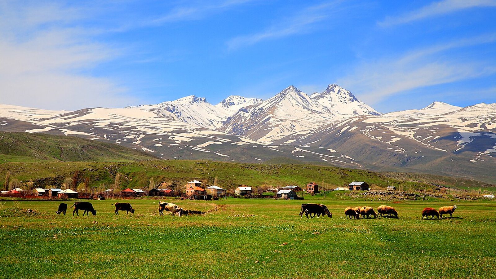
Every summer, herds from the villages below Aragats are taken up to the high pastures, and in autumn they come back down. In November the upper slopes stand empty until the snow melts. We wanted to know how high the land on these slopes goes when you look at it plot by plot, the way the cadastre draws it. The cadastre is the state register of land plots: every plot has a code, a recorded border, a type of land and an owner type.
Armenia's cadastre holds about 2.5 million plots, and for each of them we know how high the ground lies. The one that climbs highest is a community pasture on the eastern slope of Aragats, cadastral code 02-015-0342-0001. Its lowest edge is at about 2,284 m, its highest corner at about 4,065 m.
One plot, 1,780 metres of mountain
From its lowest edge to its highest corner the plot rises about 1,780 m. That is more than Yerevan's own height above sea level: the centre of the city lies at about 1,000 m. Its mean height is about 3,070 m, and on average the ground slopes at about 18 degrees.
For comparison, the northern summit of Aragats, the highest point in Armenia, is 4,090 m (Wikipedia). No plot reaches that height in our terrain model. A terrain model is a map of ground heights; ours averages the ground over squares of 30 × 30 metres, and that rounds off sharp peaks and ridges. So read every height here as "about": up to about 20 m either way.
Summer is short up there
Averaged over the whole plot, July is about 10 °C and January about −11 °C; the year as a whole stays just below zero, at about −1.5 °C. Snow covers the ground on about 233 days a year, and on about 229 days the temperature drops below freezing at some point. That leaves a grazing season of a few summer months. These are modelled values: our climate model is built from 30-year weather-station averages and the terrain, and for July it is typically within about 1 °C of a station it has not seen.
Bigger than two Yerevan districts
3,206 hectares is 32 km². Kentron and Arabkir together cover about 2,660 ha, so this one pasture is about a fifth bigger than both of them. Counted in football pitches of 105 × 68 m (UEFA), it would hold about 4,490. The plot lies inside the cadastre area of the village of Aragats (Aragatsotn) (the codes that start with 02-015) and takes up 57% of it.
3,206 hectares next to things you know
The pasture
- Area
- 3,206 ha · as of 4 Nov 2026
One plot, one cadastral code.
Kentron + Arabkir
- Area
- 2,660 ha · as of 4 Nov 2026
Two districts of Yerevan together.
Football pitches
- Pitches in the pasture
- 4,490 · as of 4 Nov 2026
105 × 68 m each, 0.71 ha.
The five highest plots are all on Aragats
Only three plots in Armenia climb above 4,000 m, and 44 above 3,500 m. The five highest all lie on Aragats, in Aragatsotn province. The first two differ by 2.5 m, which is less than the model's own margin for those plots (about 4 m). Strictly speaking, this pasture shares first place with a 239 ha state pasture just to its north-west.
| Cadastral code | Highest point (m) | Lowest point (m) | Area (ha) | Recorded as |
|---|---|---|---|---|
| 02-015-0342-0001 | 4,065 | 2,284 | 3,206 | Pasture, community |
| 02-053-0122-0002 | 4,062 | 3,162 | 239 | Pasture, state |
| 02-031-0350-0003 | 4,033 | 2,975 | 630 | Pasture, state |
| 02-108-0271-0001 | 3,966 | 2,854 | 1,132 | Not recorded |
| 02-102-0135-0001 | 3,966 | 2,569 | 1,271 | Not recorded |
Who uses it
The cadastre records the plot as agricultural land, pasture, owned by the community. Who grazes it, and how many animals go up each summer, is not in our data. If you know families who spend the summer up there, we would like to hear how their season works.