Her-Her water for Vayots Dzor: how the land it could reach is recorded
The government is discussing a pipeline from the Her-Her reservoir that could irrigate about 2,440 ha in 12 settlements. We looked at how the farmland there is recorded and how much precipitation it gets.
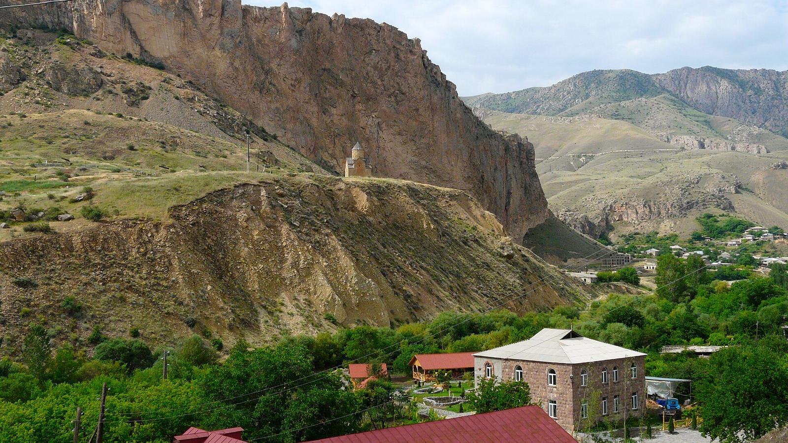
On 23 October the Public Investment Committee discussed a programme to bring water from the Her-Her reservoir to farmland in Vayots Dzor through a pipeline with pumping. According to the announcement, it could serve about 2,440 hectares in 12 settlements: Her-Her, Vayk, Malishka, Zedea, Agarakadzor, Yeghegnadzor, Getap, Arpi, Aghavnadzor, Rind, Areni and Chiva. The reservoir collects about 26 million m³ of water a year, and the project would also add 10–13 million m³ a year to Lake Sevan. Committee members stressed that a feasibility study is needed (Armenpress, Noyan Tapan). We did not try to judge the project. We looked only at the land: how it is recorded and how much precipitation it gets.
Almost half of the cultivated land is dry arable land
Each of the twelve places named has its own settlement in the state cadastre, the official register of land plots. In these 12 settlements the cadastre lists 19,265 farmland plots. Most of the area is pasture (about 15,500 ha) or "other" farmland (about 22,000 ha). We set those aside and counted only what is farmed: arable fields, vineyards, orchards and hayfields. That comes to 5,776 hectares.
Each plot in the register carries a type, and some types say "irrigated". 2,808 ha of arable land are recorded as not irrigated, and 1,687 ha as irrigated arable land. Add vineyards (661 ha), orchards (293 ha) and hayfields (327 ha), and only about 30% of the cultivated land is recorded as irrigated of any kind. The dry arable land alone is larger than the 2,440 ha the project names, but the announcement does not say which hectares the pipeline could reach.
One thing the register does not show well is vineyards. Of 661 ha recorded as vineyards, only 16 ha are marked as irrigated. The type in the register tells you how a plot was classed, and that can differ from how it is farmed today.
Village by village
Aghavnadzor has the most cultivated land (958 ha), with a large share of vineyards and orchards. Dry arable land dominates in the villages higher up: in Agarakadzor 533 of 663 ha are dry arable fields, in Zedea 500 of 581 ha, and in Her-Her, the village the reservoir is named after, 441 of 668 ha.
Down on the valley floor the picture flips. Yeghegnadzor has 305 ha of irrigated arable land and only 31 ha of dry; Getap and Arpi also have more irrigated fields than dry ones. Rind, on the plateau above Areni, is the exception: 273 of its 374 ha are dry arable land.
Where it is hot, precipitation is short
To see why water matters, we took URBIX's climate model: the average year of 1991–2020 for every plot, built from weather-station records and terrain. Across the cultivated plots of these settlements, precipitation (rain and snow) comes to about 370 mm a year, and on about 43 days the air gets hotter than 30 °C. Areni, at the bottom of the valley at about 1,060 m, gets about 302 mm and 64 hot days a year. Her-Her, at about 1,860 m, gets about 564 mm and only 17 hot days.
| Settlement | Height (m) | Precipitation (mm/yr) | Days above 30 °C (days/yr) | Arable, not irrigated (ha) | All cultivated land (ha) |
|---|---|---|---|---|---|
| Areni | 1,062 | 302 | 64 | 149 | 463 |
| Rind | 1,397 | 313 | 44 | 273 | 374 |
| Yeghegnadzor | 1,102 | 317 | 58 | 31 | 428 |
| Arpi | 1,134 | 323 | 57 | 94 | 310 |
| Aghavnadzor | 1,438 | 340 | 43 | 79 | 958 |
| Getap | 1,171 | 341 | 53 | 136 | 378 |
| Chiva | 1,596 | 362 | 34 | 280 | 463 |
| Malishka | 1,448 | 402 | 39 | 292 | 485 |
| Agarakadzor | 1,540 | 402 | 38 | 533 | 663 |
| Zedea | 1,788 | 440 | 27 | 500 | 581 |
| Her-Her | 1,862 | 564 | 17 | 441 | 668 |
The three villages with the most dry arable land, Agarakadzor, Zedea and Her-Her, are also the cooler and wetter ones. But it is not a rule: Rind gets 313 mm and 44 hot days, and three quarters of its cultivated land is still recorded as dry arable. Our data cannot say why.
What 26 million m³ means for a field
Twenty-six million cubic metres is hard to picture. Spread over the 2,440 hectares, it would be about 10,700 m³ per hectare a year: a layer of water a little over a metre deep, or about 1,070 litres on every square metre. The precipitation that falls there in an average year is about 370 litres per square metre.
If all the water went to these 2,440 hectares
Reservoir water
- Per hectare per year
- 10,656 m³ · as of 23 Oct 2026
- Depth of the water layer
- 1,066 mm · as of 23 Oct 2026
- Per square metre
- 1,066 L · as of 23 Oct 2026
26 million m³ ÷ 2,440 ha. This is the upper limit: the sources do not say how much would go to the fields and how much to Sevan.
The year's precipitation
- Per hectare per year
- 3,700 m³ · as of 4 Nov 2026
- Depth of the water layer
- 370 mm · as of 4 Nov 2026
- Per square metre
- 370 L · as of 4 Nov 2026
Average yearly precipitation (rain and snow) on the cultivated parcels (modelled, 1991–2020).
That is an upper limit. The announcement links the project to an extra 10–13 million m³ for Lake Sevan as well, and it does not say how the water would be split, how much would be lost on the way, or in which months it would come.